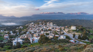
Four interconnected web applications that contribute to the presentation of the village of Kamilari in south Crete, of its location and the…
This storymap ‘Vosakos geotrail’ is a part of the Psiloritis geopark storymaps website and combines most of the elements I have learned…
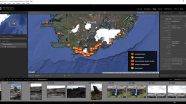
This is a remake of the Katla geopark virtual tour that I developed in 2019. For the development the same files were…
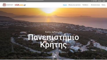
The ‘Visit University of Crete’ website was developed to aid potential visitors of the University and promote the institution to potential student…
A 3dVista virtual tour of Platys river basin in Crete.
The website can be found here https://storymaps.nhmc.uoc.gr/The concept and the name of story maps come from the ESRI Story maps, however in this…
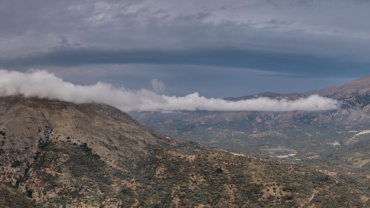
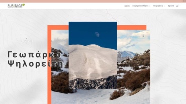
A presentation of the UNESCO Global Geopark of Psiloritis mountain was developed using ESRI ArcGIS Story maps. The story map is actualy a website compiled from textual information, introduction videos, interactive 2D and 3D maps, virtual tours and multimedia galleries and other websites.
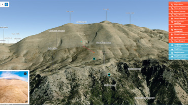
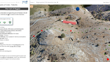
An alternative approach to Google Maps javascript API for making web mapping applications is the ArcGIS javascript API which I used to develop the maps of “Mygia’s route”…