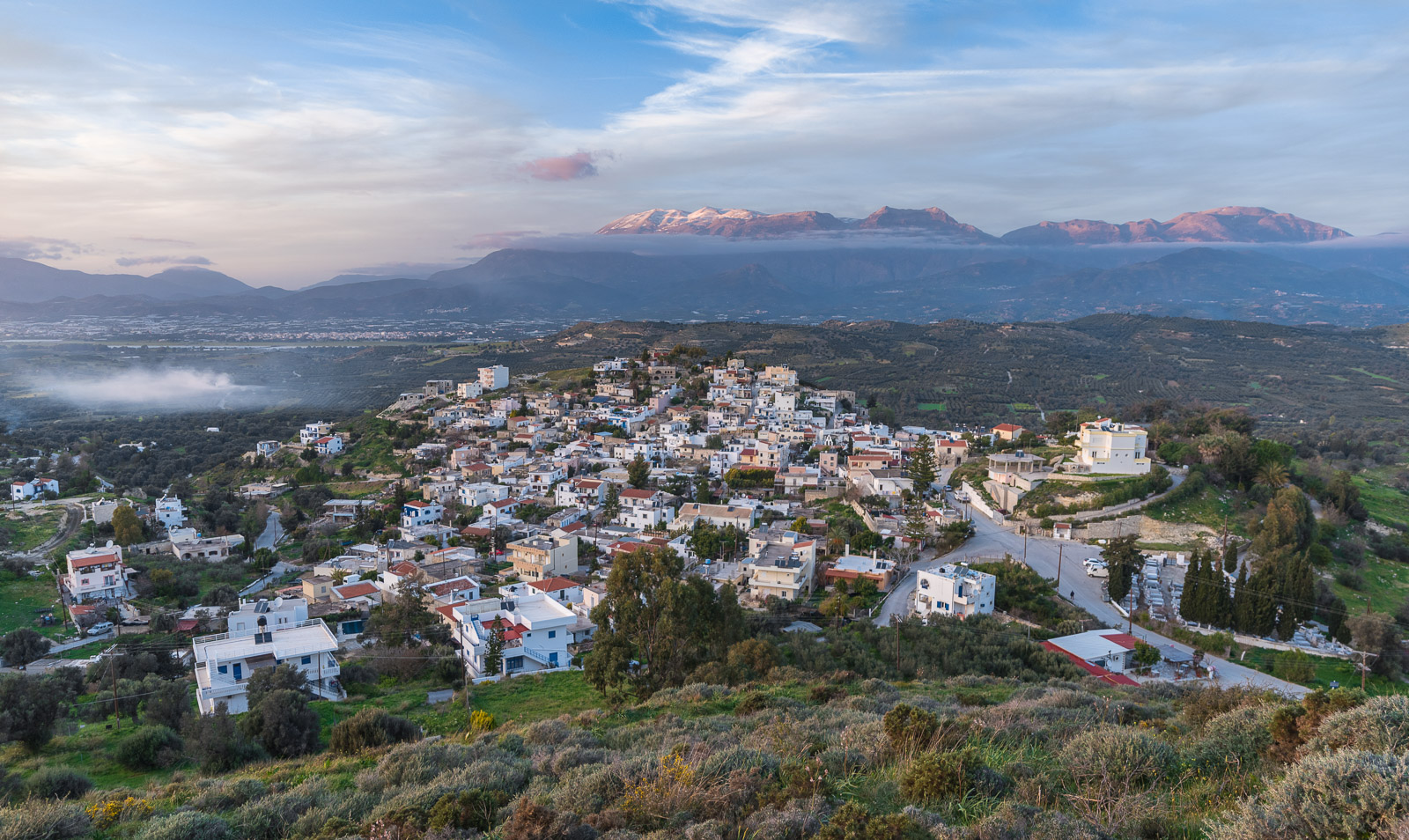
Four interconnected web applications that contribute to the presentation of the village of Kamilari in south Crete, of its location and the inhabitants. Emphasis is given in its modern history and is an attempt to preserve memories of people and the fast changing landscape, mostly due to the tourism and the switch to land uses related to it. The language of the applications is Greek, since it mostly is targeting the local population.
These web applications are
a WordPress website, in which the information are layout out to the users and guides them for the use of the other ones as well. The website link is https://www.kamilari.org.gr
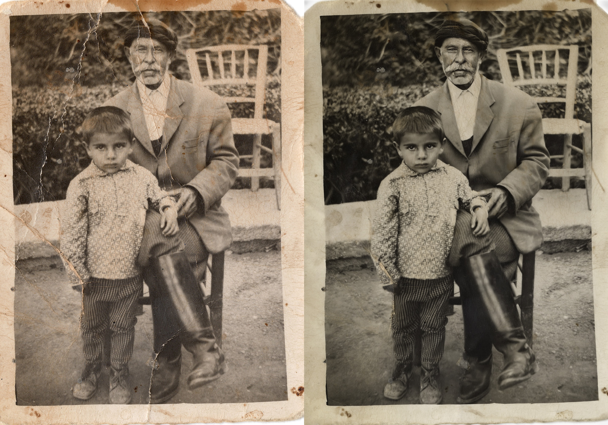
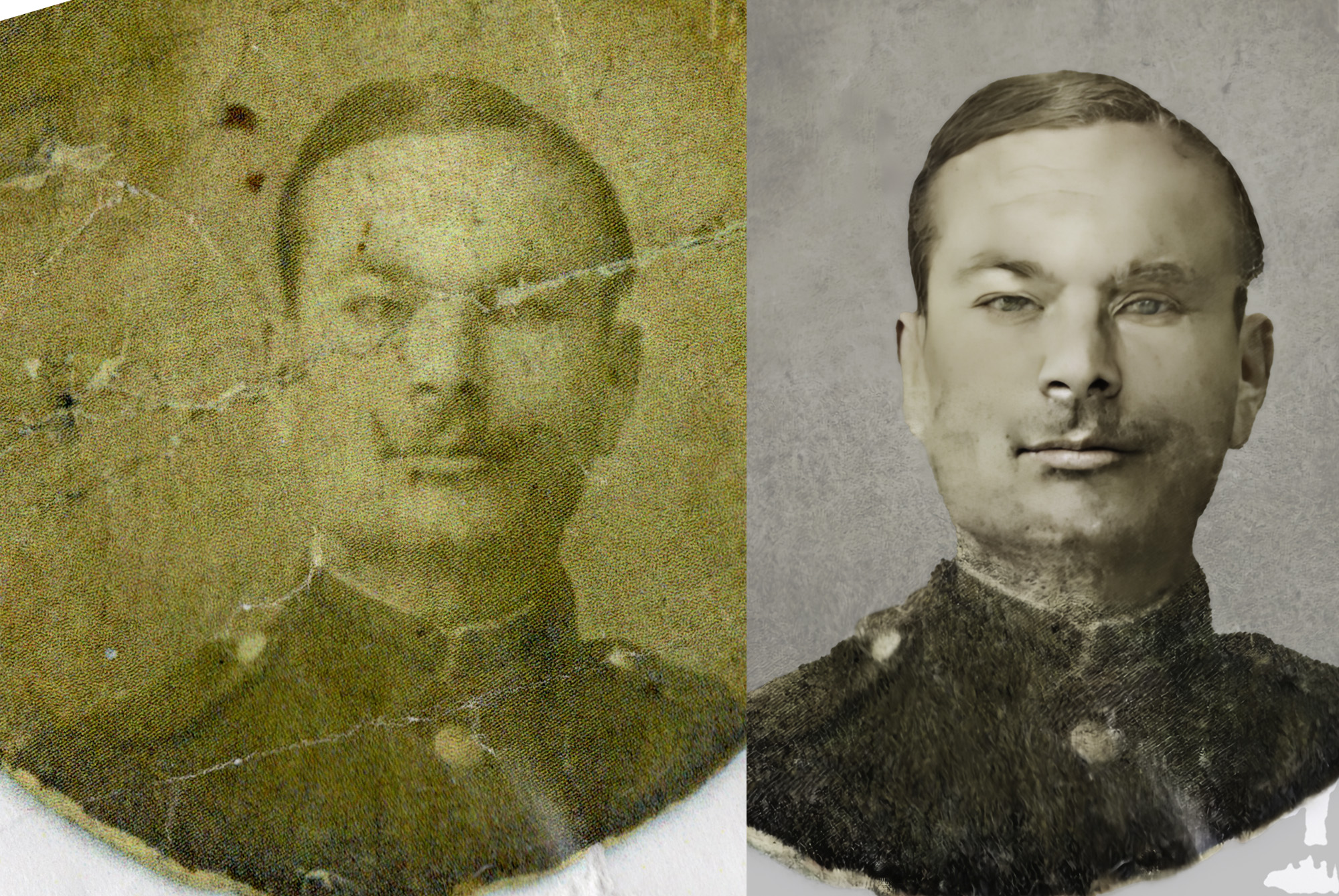
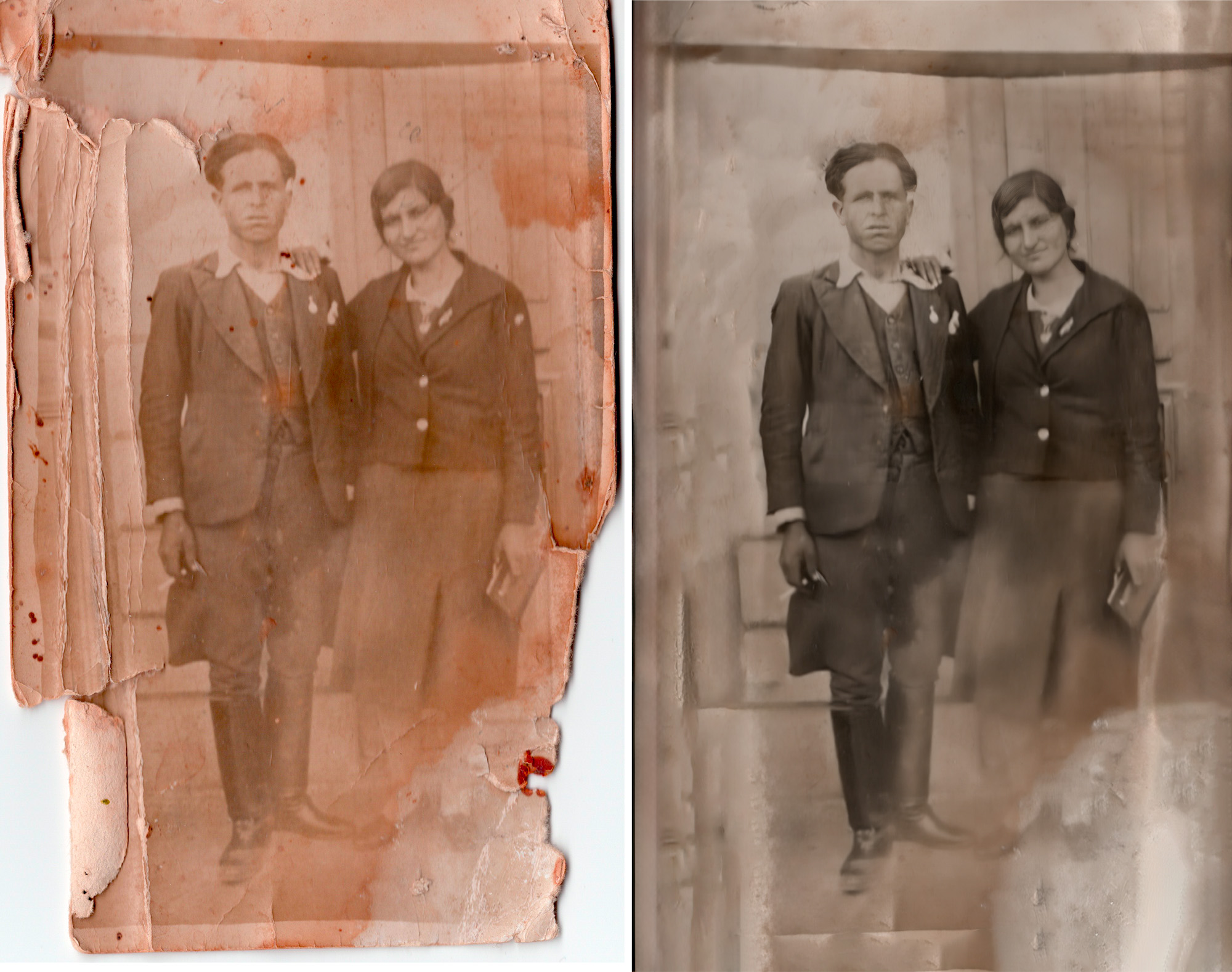
The photo archive, which is a Piwigo CMS, that also syncs the images from a Lightroom catalogue. The Piwigo link https://pics.kamilari.org.gr. These photos mostly are aqcuired from scanning old prints, so they can be preserved and restored. The digital copies of the images are also enriched with metadata that include geolocation, identification of the people in the photo, approximate or even exact date of the capture and if there is a backstory or a useful info surrounding the photo or the subject it is recorded as well.
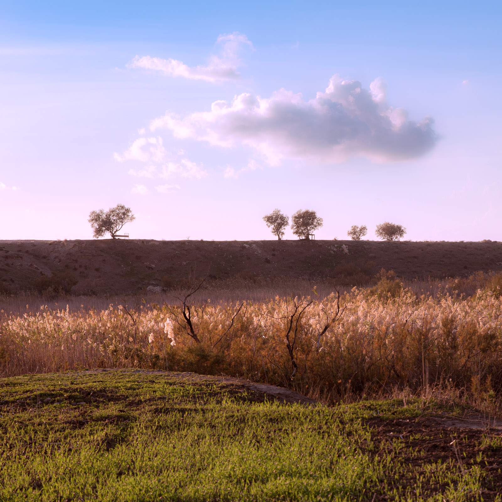
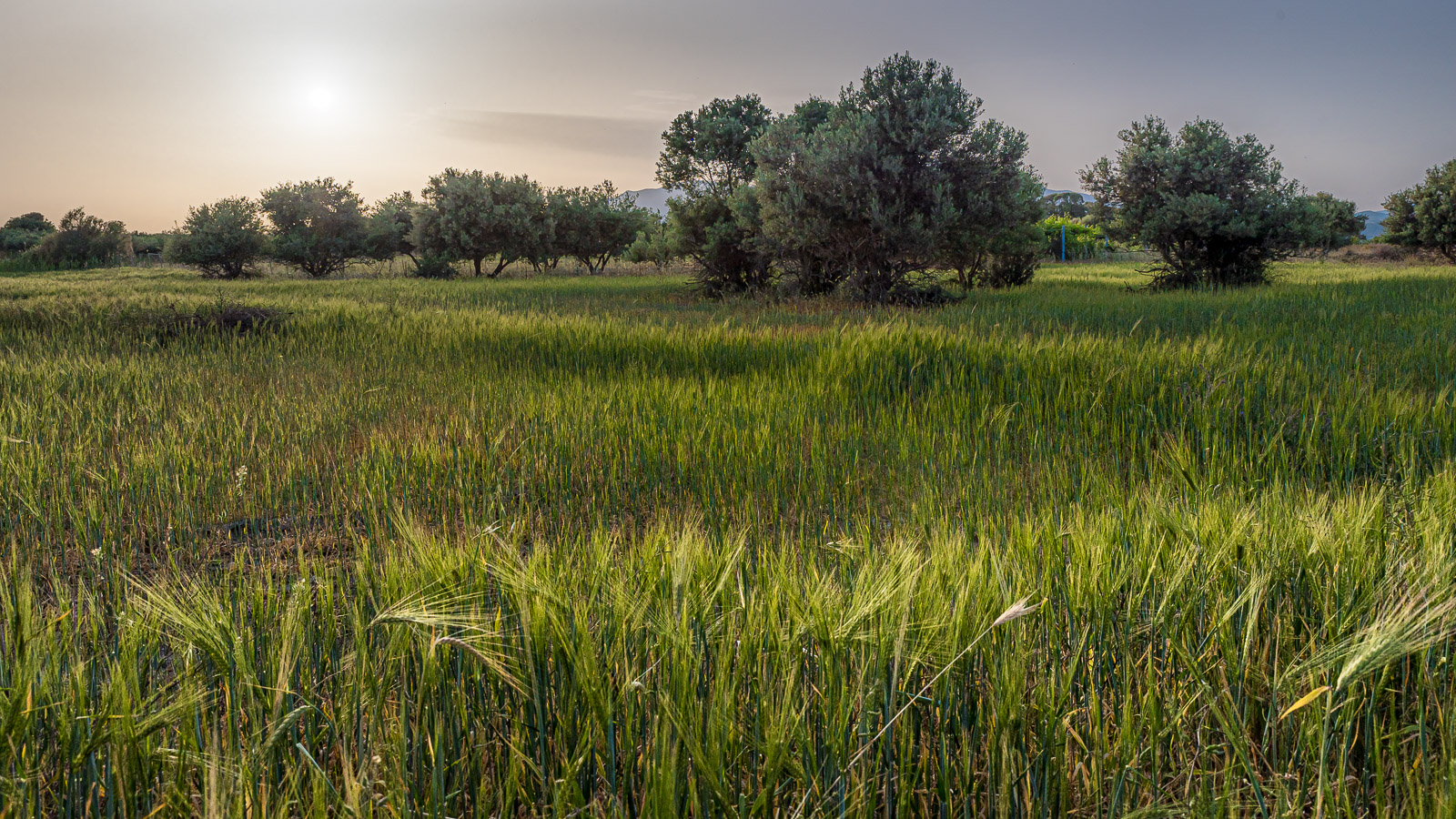
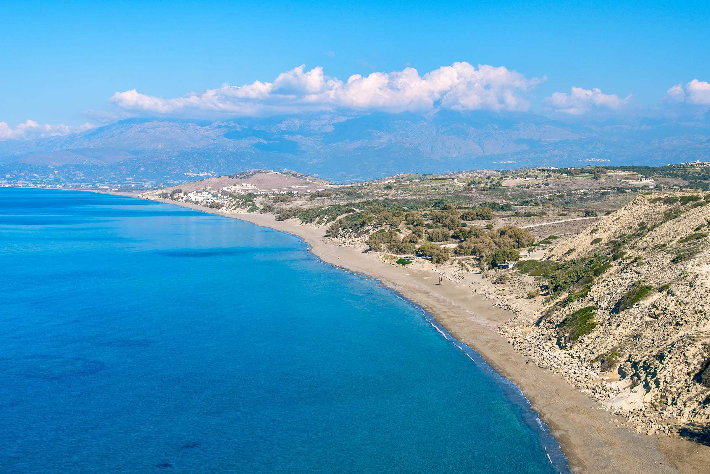
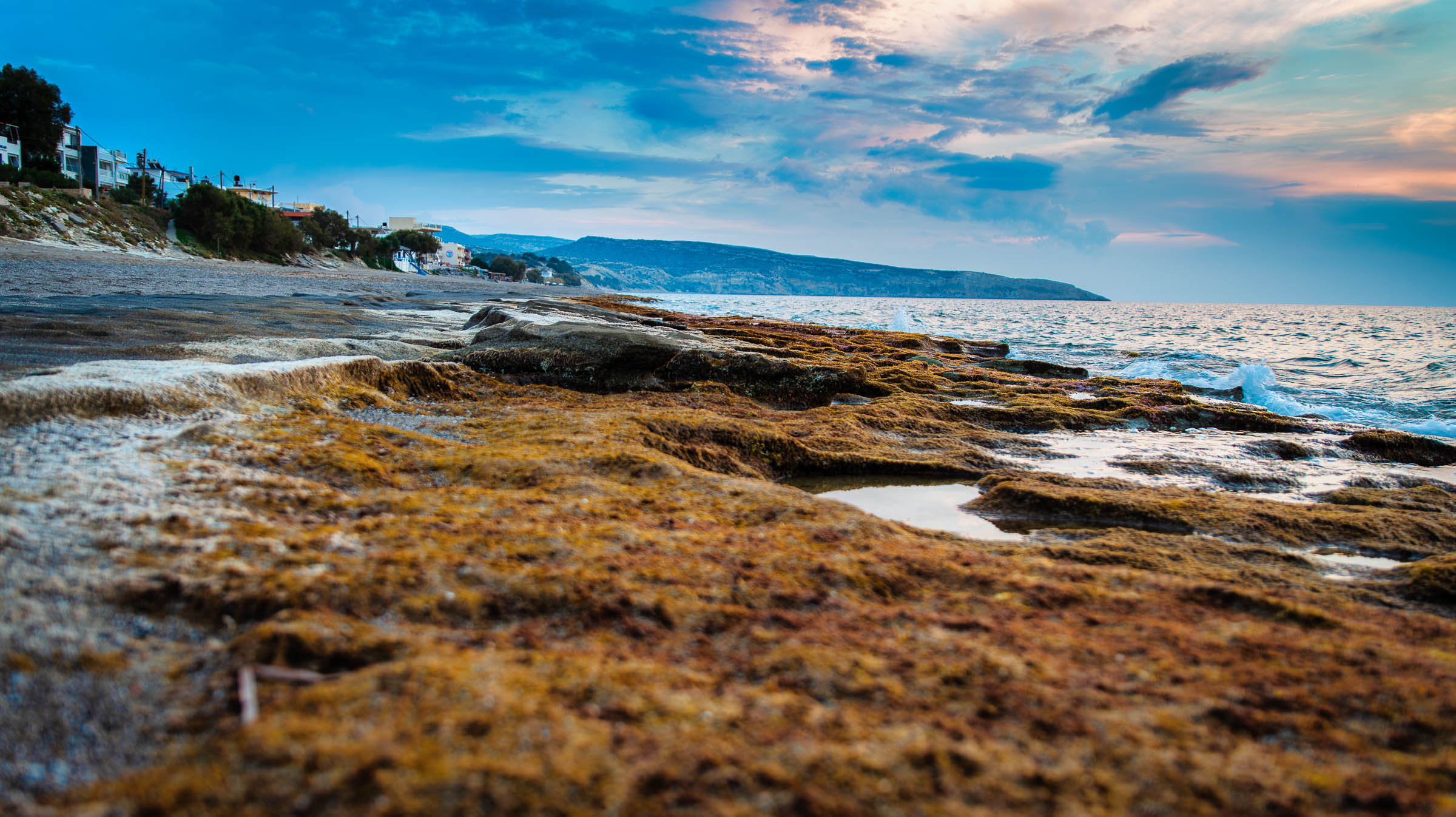
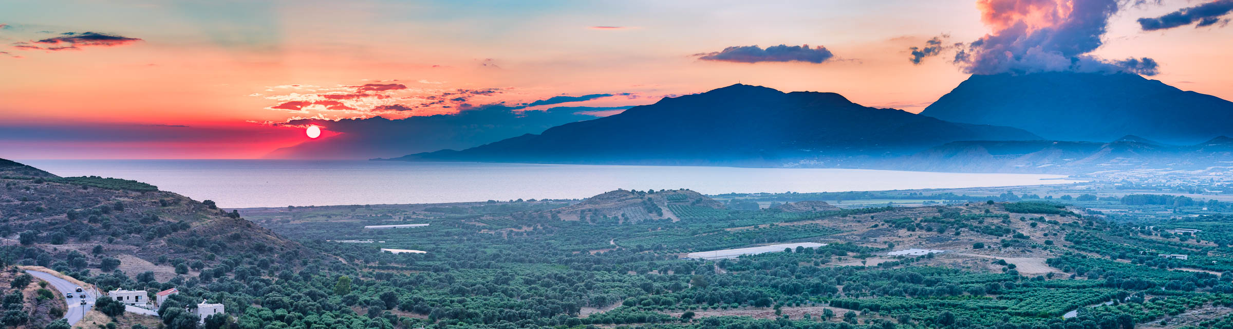
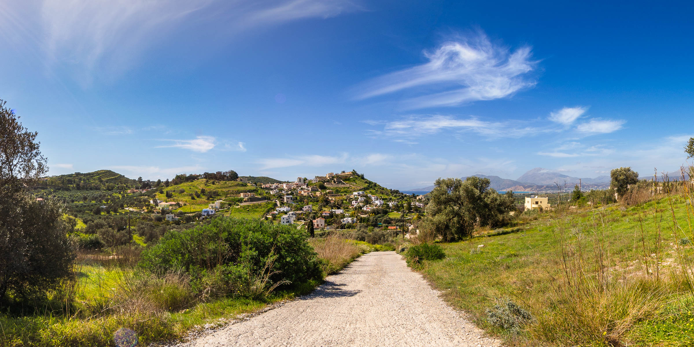
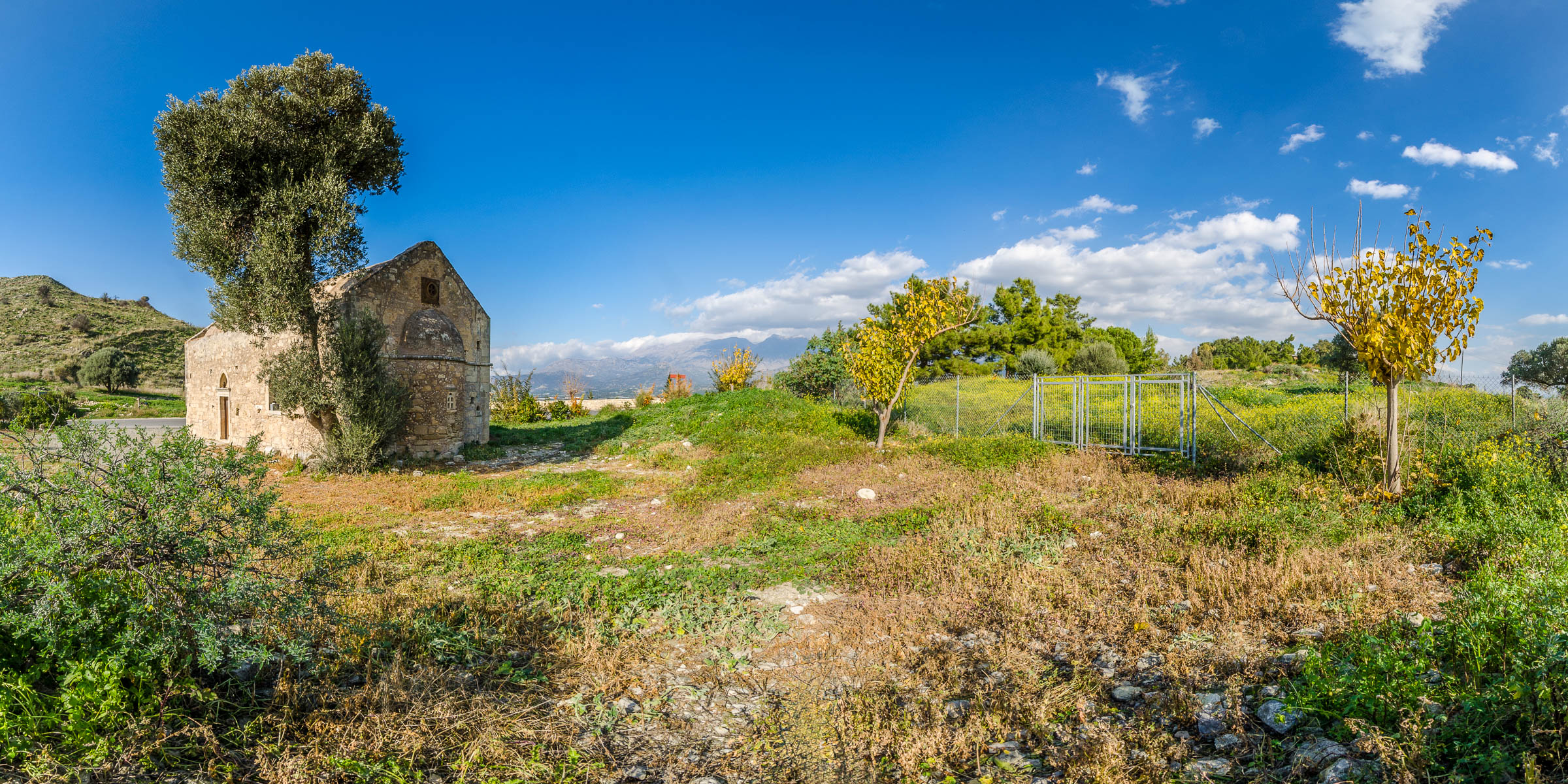
A web map based on Leaflet js, which reads from a Postgis / postgres database and its link is https://map.kamilari.org.gr/pois/. The map contains local toponyms of the area and at the same time helps the users to navigate at the virtual tour of the area. Other that the vector data, there are additional basemaps in form of images / maps that help get a glimpse of the area through the last 60 years or so. The oldest airphoto are taken around 1960s and there is also a map produced around 1975, another airphoto that was taken around 2000 and of course the Google Maps satelitte images that are rather new.
Finally, a virtual tour that introduces the area from a different angle and is also can be viewed in a VR mode. The virtual tour can be found in the following link https://tour.kamilari.org.gr/main/index.htm
Website
The website is developed in Worfpress and it embeds all the other apps interconnecting.
The family trees play a central part for presenting the inhabintants of the village and reveal their family connections.
Photographic archive
The photos of the inhabintants are stored in the photographic archive that can be visited in https://pics.kamilari.org.gr
The archive is developed in the Open Source CMS Piwigo and it allows the synchronization of the photos and their metadata with the Adobe Lightroom catalogue that is used to initially store, edit and export the restored photos.
The workflow of the photograph restoration begins the the scanning of the old photos in an EPSON ecotank A3+. The photos afte the import to the Lightroom catalogue will be retouched in Photoshop taking advantage of the Neural filters restoral capabilities that were added in 2023 that makes the restoral easier and faster. The ‘final’ restored image will be also be enriched with the known metadata, like capture date, capture location, faces recognition, a small description if it is available etc.
- The faces recognized are presented as tags that are used as the distinction factor in the other apps (the website and the photographic archive) as well.
- For the geographic location, Lightroom’s map module is used and the coordinates are also plotted on an Open Street map in the photographic archive.
Webmap
The webmap can be located at https://map.kamilari.org.gr/pois
The map of Kamilari is developed in Leaflet javascript open source library and the spatial data are stored in a Postgresql / Postgis database. Some of these data are the Open Street data of the area of 2022 with minot changes and are used as a reference point for when the basemap is changing. The main purposes of the map are for one to spot the local toponyms used to identify a place or an area and are not widely known and second to interconnect the virtual tour by indicating the location of the panoramas that are present in the tour. The users can navigate to the virtual tour by selecting the appropriate points in the map.
At the same time, there are also old ait photos and a 1970 scanned map that the users can add in order to have a filling of the chronological changes that happened to the area the last 60 years.
Virtual tour
The virtual tour https://tour.kamilari.org.gr/main/index.htm
The virtual tour is an additional way to present the area by giving the opportunity to the users to introduce them to the landcape and give them a better understanding of Kamilari and its surrounding places.