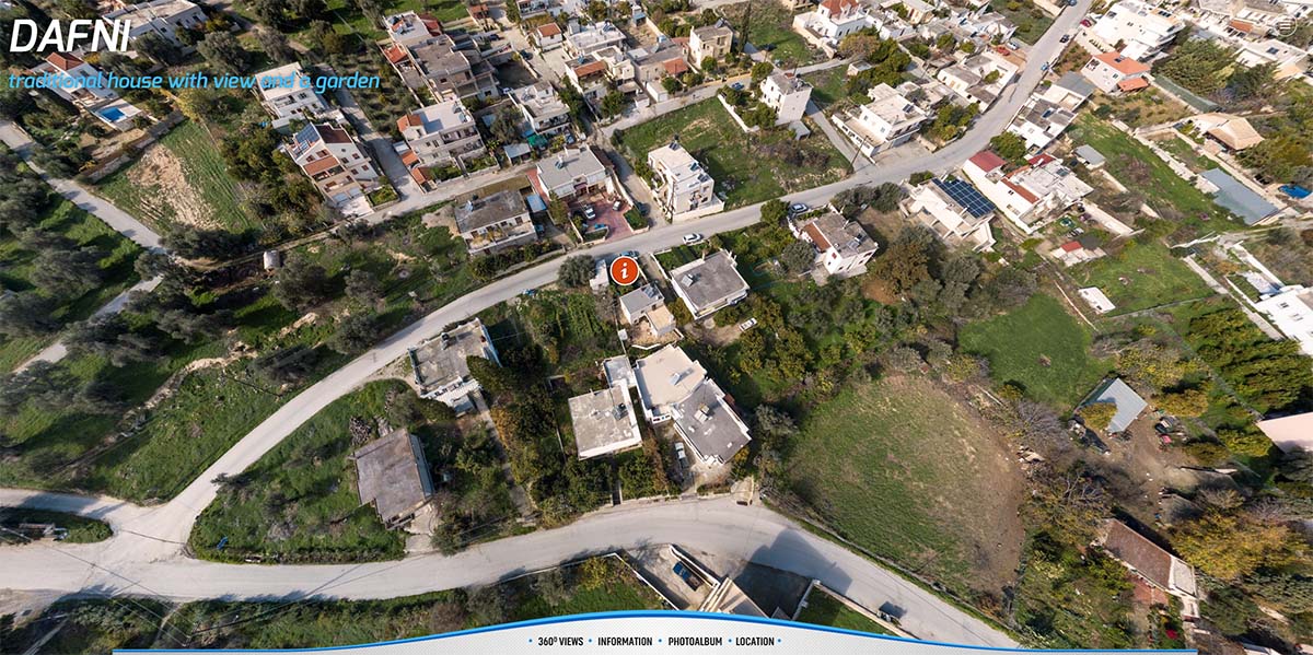
Originally developed in Kolor Panotour Pro and then remade in 3DVista, this small virtual tour is developed for the needs of this house rental.
For the development the house was photographed and a simple floor plan was created.
Originally developed in Kolor Panotour Pro and then remade in 3DVista, this small virtual tour is developed for the needs of this house rental.
For the development the house was photographed and a simple floor plan was created.
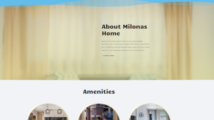
A website development and a photo shoot of the apartment
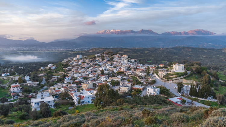
Four interconnected web applications that contribute to the presentation of the village of Kamilari in south Crete, of its location and the…